Concetration of Irish Shipwrecks
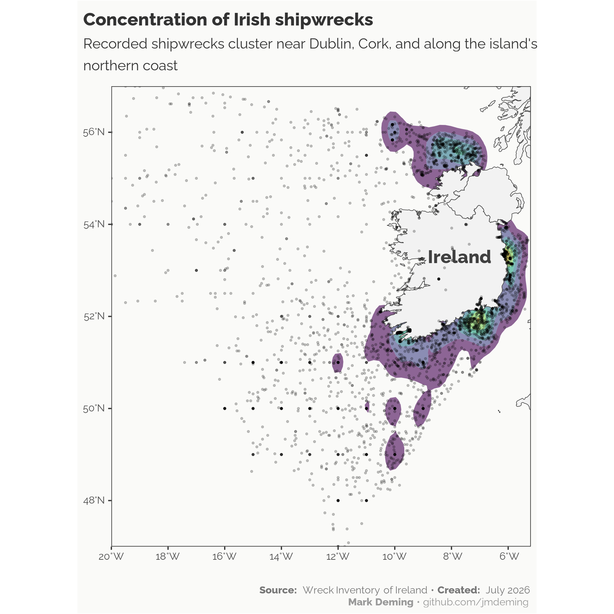
This visualization maps Irish shipwrecks from 1300 to 2017 using data from the Wreck Inventory of Ireland. Created in R using ggplot2, sf, and rnaturalearth.

This visualization maps Irish shipwrecks from 1300 to 2017 using data from the Wreck Inventory of Ireland. Created in R using ggplot2, sf, and rnaturalearth.